
Click on the map for a satellite photo
Looking to extend our seakayaking-horizon, the idea was born, within the club, to visit Spiekeroog (germany). Dick, having a house nearby Spiekeroog, initiated the idea and Wieger, having been kayaking there once, did further planning for a tour.
As shown on the map,the idea was straightforward:
- day 1: from Neuharlingersiel to the camping on Spiekeroog,
- day 2: round the island
- day 3: return to Neuharlingersiel.
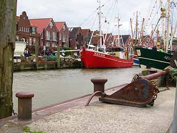
Neuharlingersiel harbour
On paper the plan sounds quite simple and Wieger did a good job looking at the tidal heights and -currents. He also was known to the location and entrance of the camping.
But apart from this we must investigate quite a lot of things at the spot. As we can not (yet)  influence the weather it will be a surprise what we can actually paddle. We also are not familiar to local spots with much surf under the weatherconditions.
All this we were eager to find out and so we did.
To begin with the camping: this turned out to be a place with a special atmosphere. The whole island is completely without cars, so tourists have to take the barrier in coming. Looking at the mountains of bagage they take along with them, this would be a real barrier to me. However a special kind of tourist, probably with plenty of patience, is willing to and there is created a very special atmosphere of kindliness.
The only dissonant was the campingboss, approaching us like in a kind of military regime while telling us we were not allowed to bring the kayaks near the tents.
The weather turned out fully co-operating with our plans as the wind blowed at 4-5Bft-West on first day. Just some threatening clouds in the air. Wodan was just as kind to unload these clouds in a shower shortly after arrival and unleash the big winds while erecting our tents. Probably this was to test us, but since we did not run away the weather was restored.
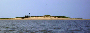
East cape
Next day we left at 10.00h. It was a very quiet day without much wind. The only issue was that the "wind was still a little bit in the water" on the northern side of the island: we encountered there a big swell of approximately 1,5-2m turning into pondering surf when hitting the beach. Paddling outside the surfzone we knew we would have to pass the surfzone somewhere near the east end of the island. The alternative to head for the open sea at the east-end of the island to go round a big sandbank there, didn't look very appealing to us. Coming to the spot the east-end looked impressive but coming near it wasn't too bad. Heading to the beach just before the surfspot brought Peter and me easily in a kind of lagoon without waves making it possible to pass easily. Wieger, Thomas and Peggy went through the soup of reflecting and bouncing waves. This turned into a real exercise for Wieger as he had to rescue Peggy there after she exited (it must be said she tried to roll-up 3 times).
Finding the lagoon was beginnersluck as we saw the lagoon disappear while sitting on the beach, having a rest and waiting till it was time to leave.
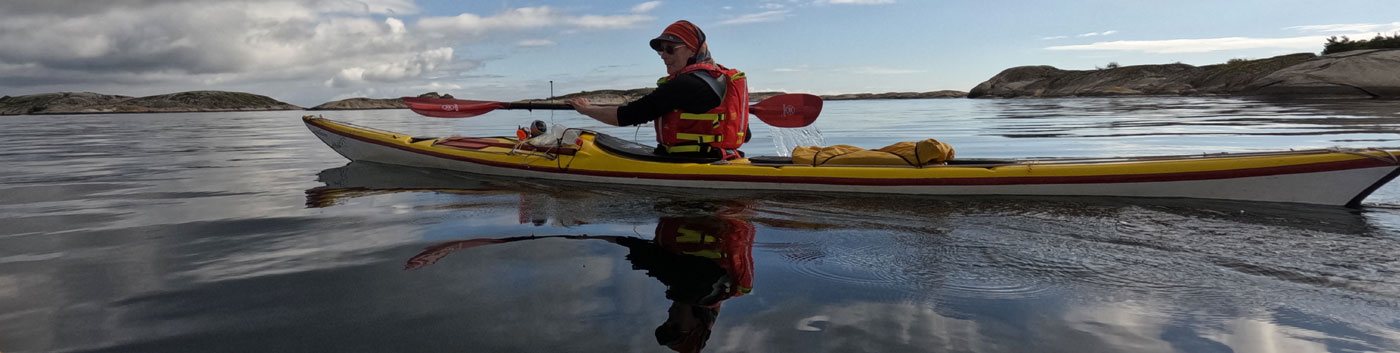
Paddling on the south-side was easy under the circumstances and asked to play a bit and to exercise rolling. I found out that rolling, with my camera in the pocket of my PFD, was difficult because bending forward, once under water, was blocked by the camera hitting the cockpitcoaming.
The evening was a nice occasion to test one of the local restaurants and after feeling well fed we returned to the camping by a beach-walk.
Next day we left at 11.00h which was earlier than necessary. But thinking of 400km to drive, we did not want to arrive home too late. The price to be paid was that we did not get much help from the current, pushing from behind. Actually the current did not help at all and we encountered a headwind of 4Bft not helping either. After having crossed to Langeroog for our coffeebrake over there, Peter set the pace and we "paddled like hell" (No, now I am exaggerating) back to Neuharlingersiel. Arriving 12.30h.
Details of the tour:
Attendees: Wieger, Peter, Thomas, Peggy, Rene
Distances: day 1 - 6km, day2 - 40km, day 3- 7km
Tidal: 17/8 HW 15.25h; 18/8 HW 15.59h ;20/8 HW 16.37h at Helgoland
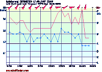
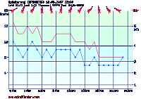
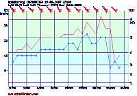
wind 3-5Bft SW to SE. Graphs: